 Ridge Run Weather Station
West Bend, Wisconsin 53095
Long Term Weather Outlook |
|
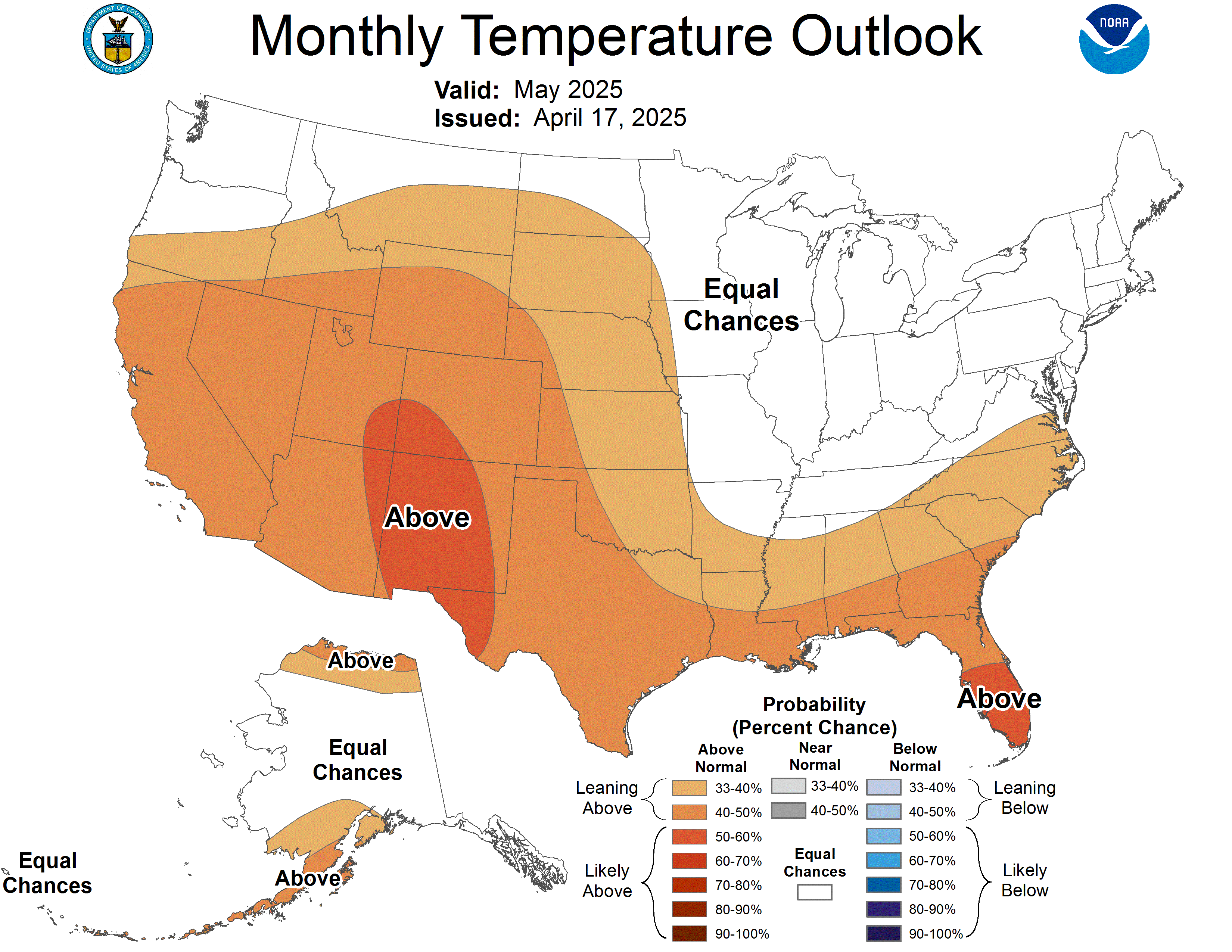
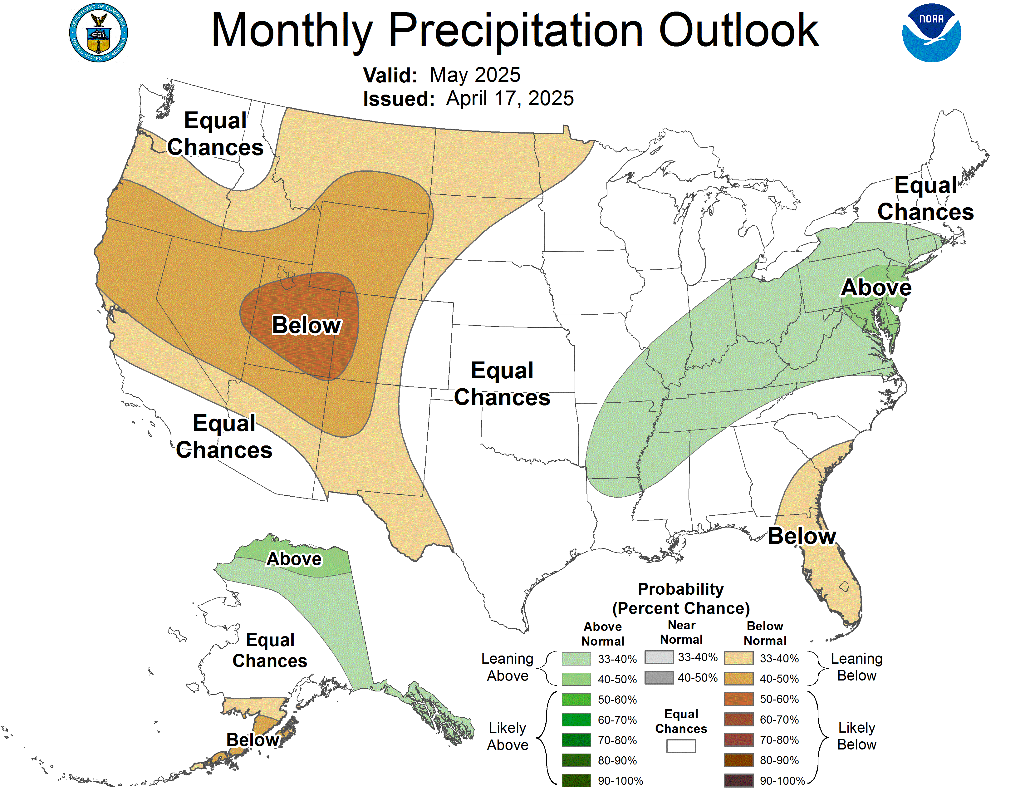
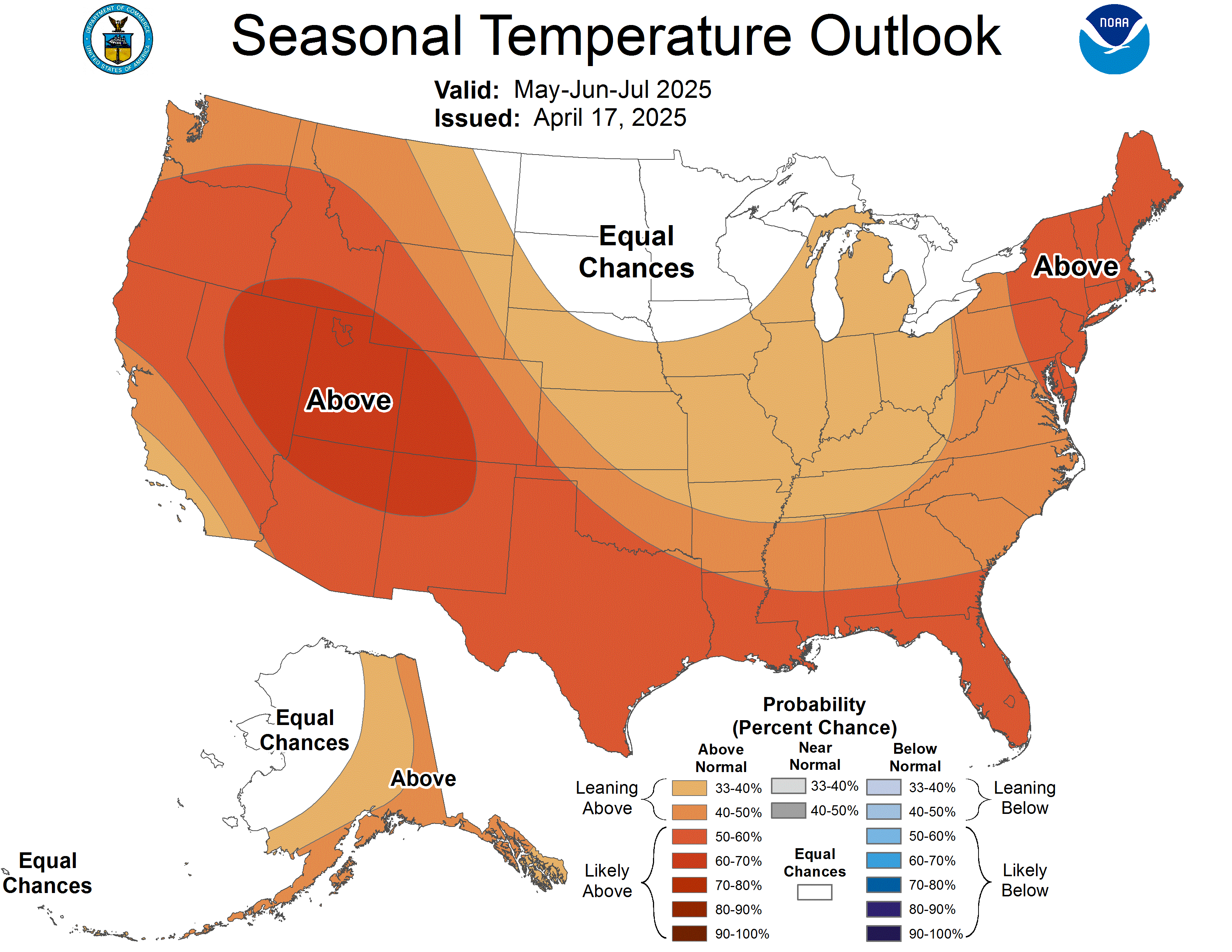
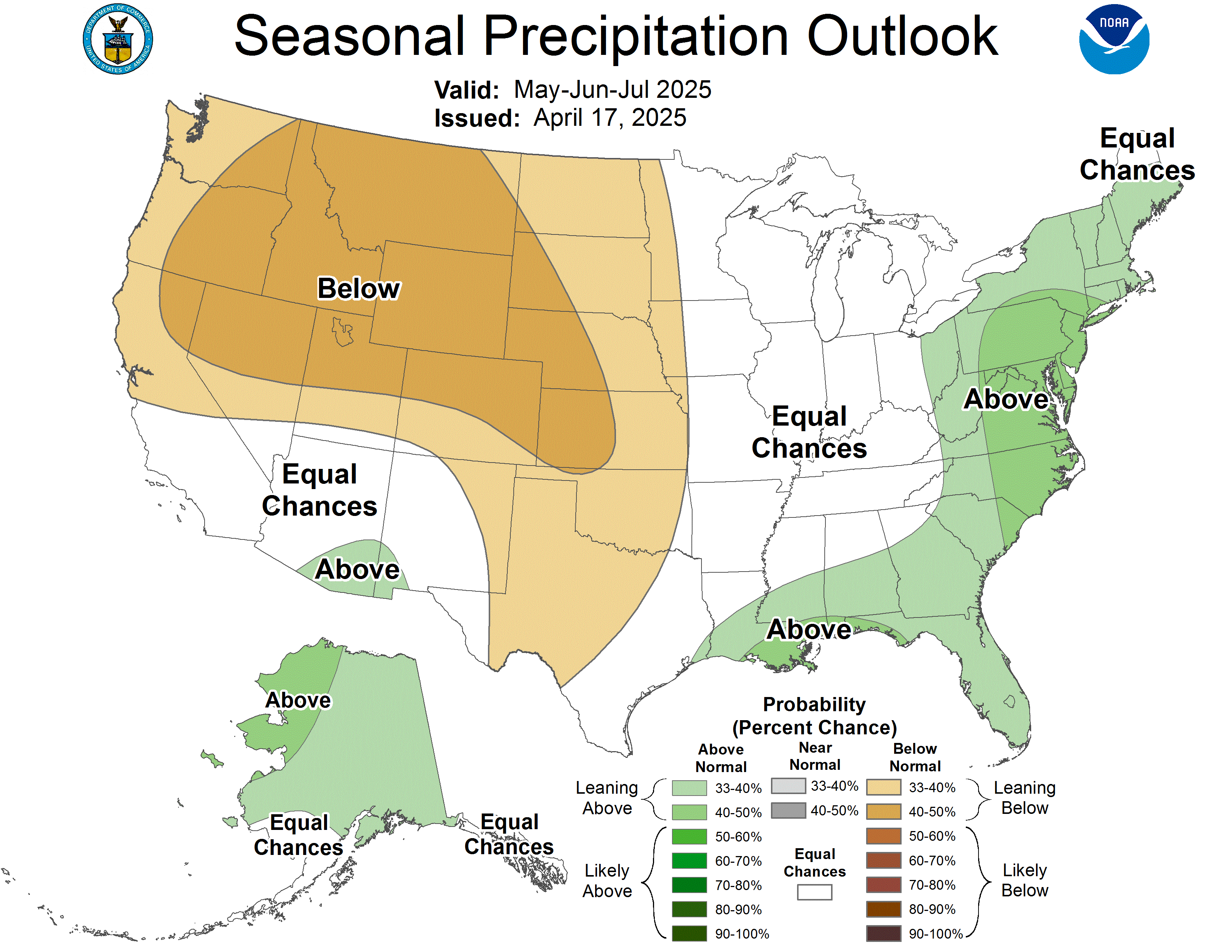
The Climate Prediction Center (CPC) of the National Weather Service issues outlook maps showing probabilities of temperature and precipitation. See the text after the map display for an explanation of map symbols. Click on a map to enlarge it.
|
|
6-10 Day Temperature |
6-10 Day Precipitation |
|
8-14 Day Temperature |
8-14 Day Precipitation |
|
One Month Temperature |
One Month Precipitation |
|
Three Month Temperature |
Three Month Precipitation |
|
3-7 Day Hazard Outlook |
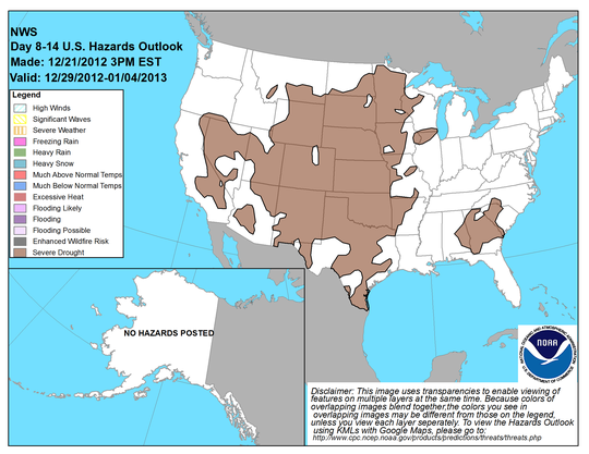
8-14 Day Hazard Outlook |
How to Read the Maps |
|
The colored shading on the map indicates the degree of confidence the forecaster has in the category indicated, where “B” and blue colors indicate “below-normal” and “A” and orange-red colors indicate “above normal”. The darker the shading, the greater is the level of confidence. The numbers labeling the contours separating different shades gives the probability that the indicated category (A, B, or N) will occur. The probabilities of all three categories are implied on the map, and sum to 100%. The forecast probabilities given on the map generally fall far short of complete confidence (100%) in any single category. When the probability of the above (A) or below (B) category is greater than 33.33% by some amount, the probability of the opposite category declines by that amount, while the probability of the middle category remains at 33.33%. In the event that the “N” category is greater than 33.33%, the probabilities of both the “A” and “B” categories is each reduced by 1/2 the amount that the “N” category exceeds 33.33%. When the probability of “A”, or “B” reaches 63.33% or higher, the odds of the opposite category reach a minimum allowed value of 3.33%, while the odds of the middle category are allowed to drop below 33.33%. |


